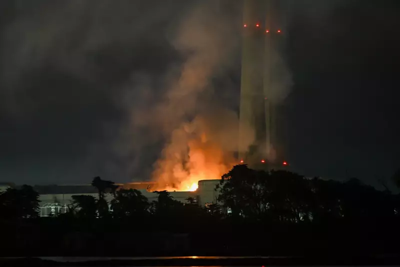
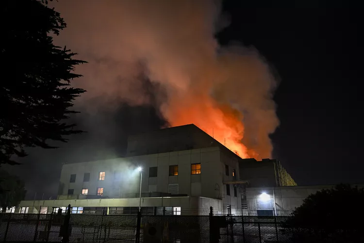
Forecasters alert southern California to a new extremely critical fire risk as blazes continue to burn
“Dangerous fire weather conditions” are predicted until Tuesday, January 21 due to mild temperatures and low humidity.
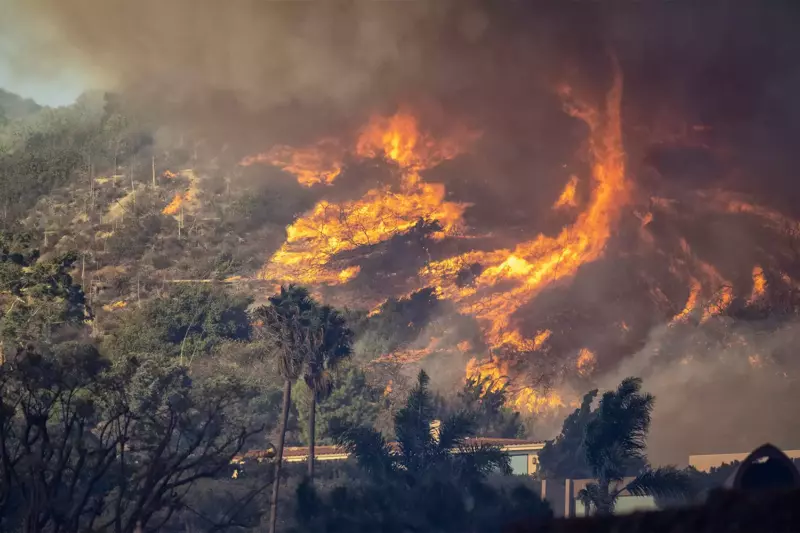
With the L.A. fires still burning, another Santa Ana wind storm is predicted to hit Southern California, posing a new and grave risk.
The National Weather Service’s Weather Prediction Center has declared that starting Monday, January 20, there is a “extremely critical risk of fire weather” in some areas of Southern California.
Low humidity, warm temperatures, and “the return of very strong winds” to these regions, according to forecasters, “will lead to dangerous fire weather conditions” until Tuesday, January 21.
For many of the areas affected by wildfires over the past two weeks, the Los Angeles National Weather Service has issued a “Particularly Dangerous Situation” warning, which will be in effect from 12 p.m. local time on Monday through 10 a.m. on Tuesday.
From Big Pines and neighborhoods north of Pomona to Ventura and Oxnard, the alert area encompasses Malibu, Santa Clarita, Palmdale, Thousand Oaks, Simi Valley, Burbank, and regions affected by the Palisades and Eaton fires.

The San Francisco Chronicle reports that red flag warnings are in effect for approximately 12.8 million people in Southern California.
Peak wind speeds in the highlands and foothills could be as high as 70 mph, while those along the coast and in valleys might reach up to